Topografía Profesional a su Servicio
Servicios de topografía para atraer clientes con profesionalismo.
Calificación de clientes: 5 estrellas
★★★★★
Sobre Nosotros
En Mega Topografía, ofrecemos servicios de topografía para garantizar profesionalismo y atraer a nuestros clientes.


Servicios de Topografía
Ofrecemos servicios profesionales de topografía para satisfacer todas sus necesidades.
Topografía de Terrenos


Realizamos estudios topográficos precisos para proyectos de construcción y desarrollo.


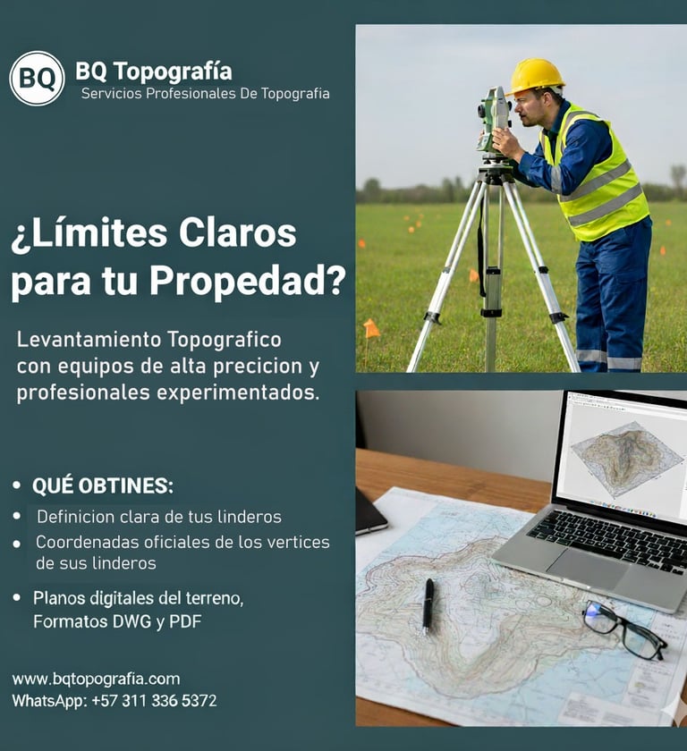
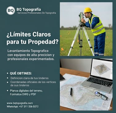
Levantamientos Topográficos
Levantamos datos topográficos detallados para una planificación efectiva de su proyecto.
Proporcionamos informes claros y precisos para facilitar la toma de decisiones.
Consultoría Profesional


Diseño de vias
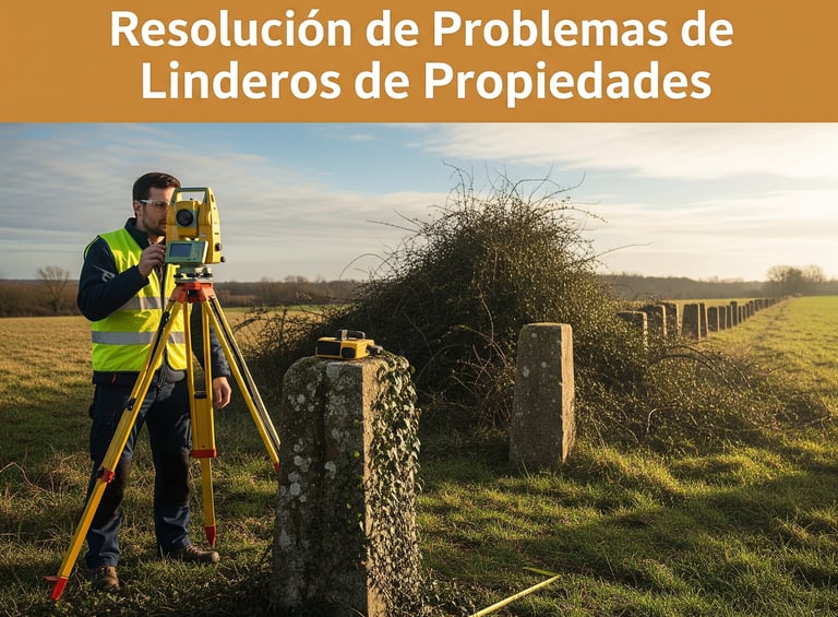
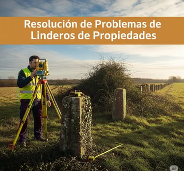
Topografia Judicial
Levantamos pruebas de Invasion de linderos, altaracion de linderos y procesos de restitucion o replanteo de los linderos originales
Diseño de vias en asfalto o concreto, Placa Huellas, Vias De Acceso, Zonas De Parqueo.
Suscríbete a Mega Topografía
Recibe novedades y ofertas exclusivas.
Los servicios de Mega Topografía son excepcionales, siempre profesionales y muy confiables.
Juan Pérez


★★★★★